|
Satellite Altimetry and FFSAR Tutorial:
Marco
Restano from ESA has provided a short tutorial on
satellite altimetry and FFSAR processing, click on
this link
to view it
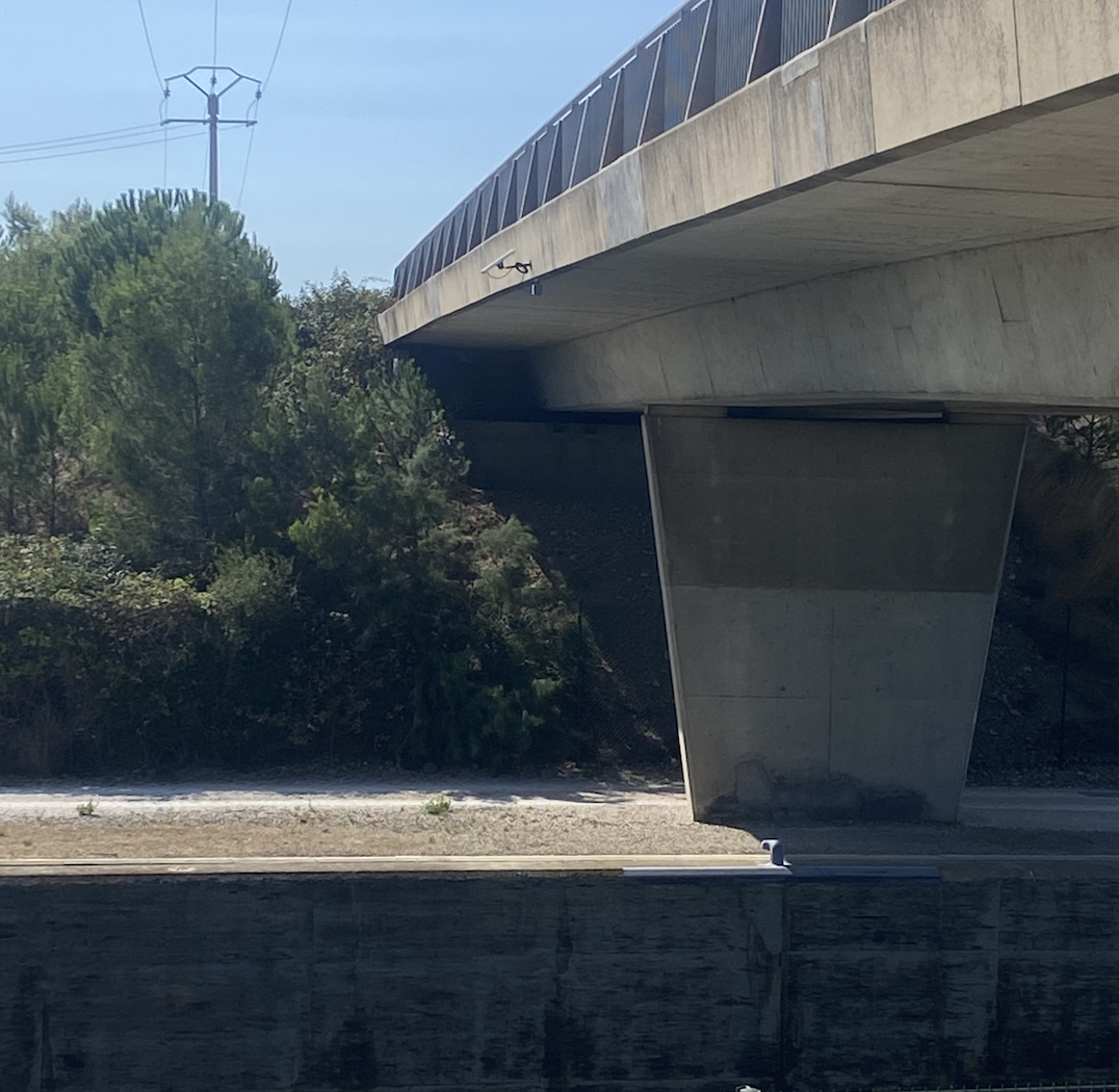
Final VorteX.io microstation installations (6th
Sept 2022):
Two
further VorteX.io microstations were successfully
installed at locations on the Severn Estuary coast
on 6th September, on the A48 bridge over the River
Usk in Newport, and on the Grand Pier at Weston
Super Mare. This completes the installation of new
gauges for the project.
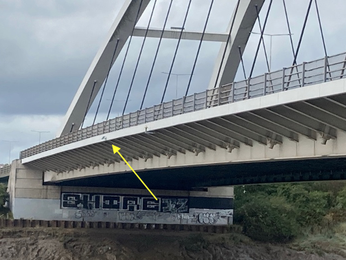
The
micro-station installations at Newport (left) and
Weston Super Mare (right)
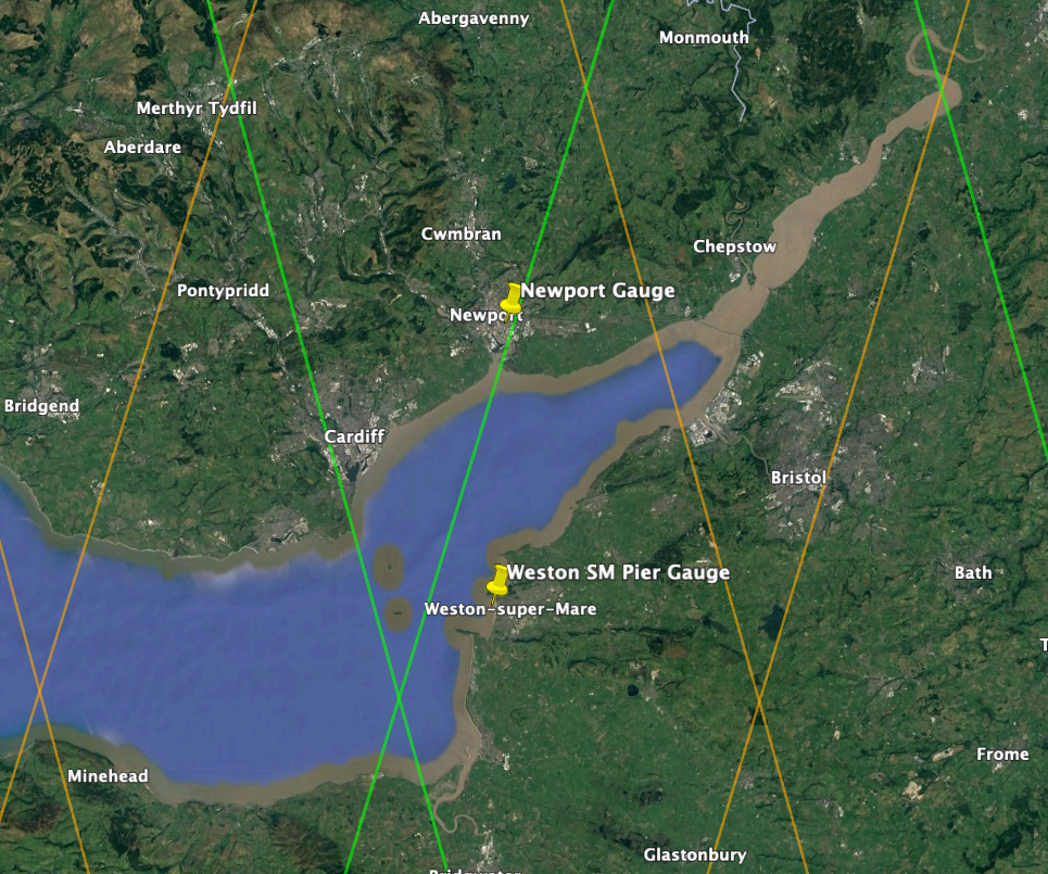
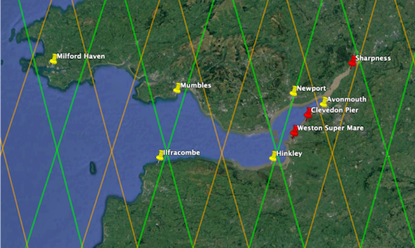
Map
of the Sentinel 3A (brown) and 3B (green) satellite
tracks and micro-station sites (yellow pins). Google
Earth
First VorteX.io microstations installed
(27th July 2022):
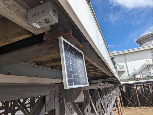
Two
VorteX.io microstations were sucessfully installed
on bridges near the Rhone outflow into the Gulf of
Lion on the 27th July, at Port Saint Louis,
and Port de Bouc - Fos sur Mer.
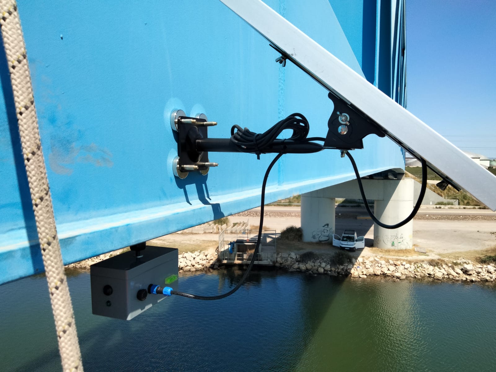
The
micro-station installations at Port Saint Louis
(left) and Port de Bouc - Fos sur Mer (right)
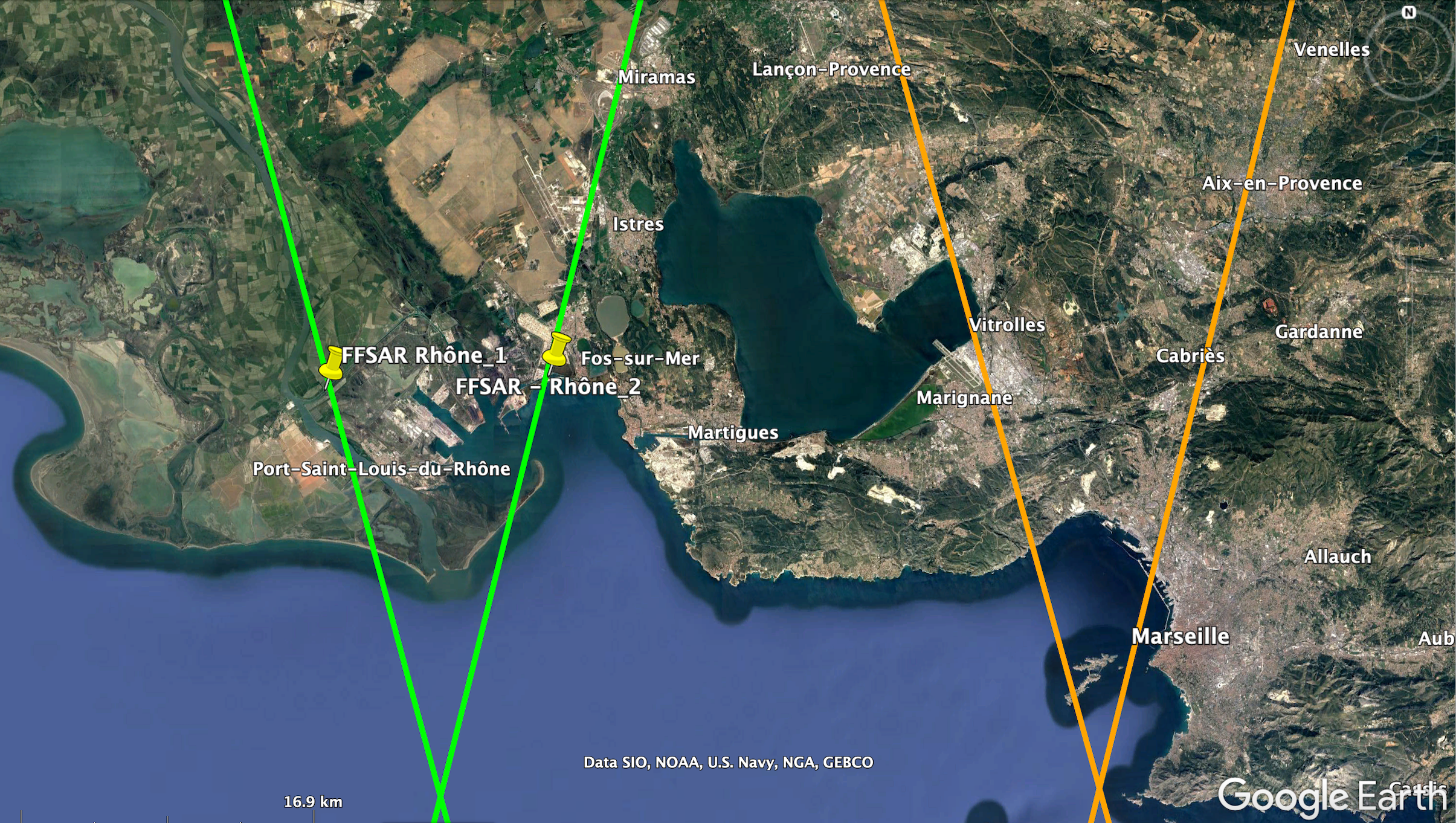
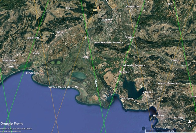
Map
of the Sentinel 3A (brown) and 3B (green) satellite
tracks and micro-station sites (yellow pins). Google
Earth
|